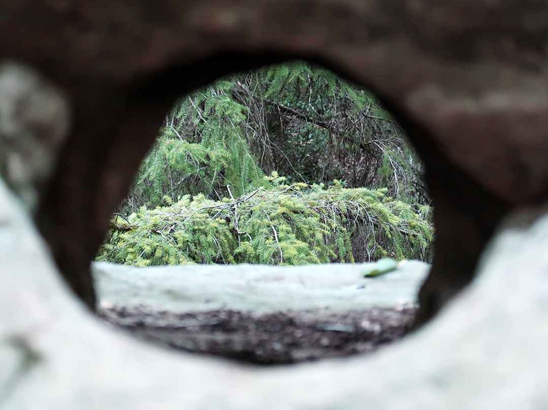
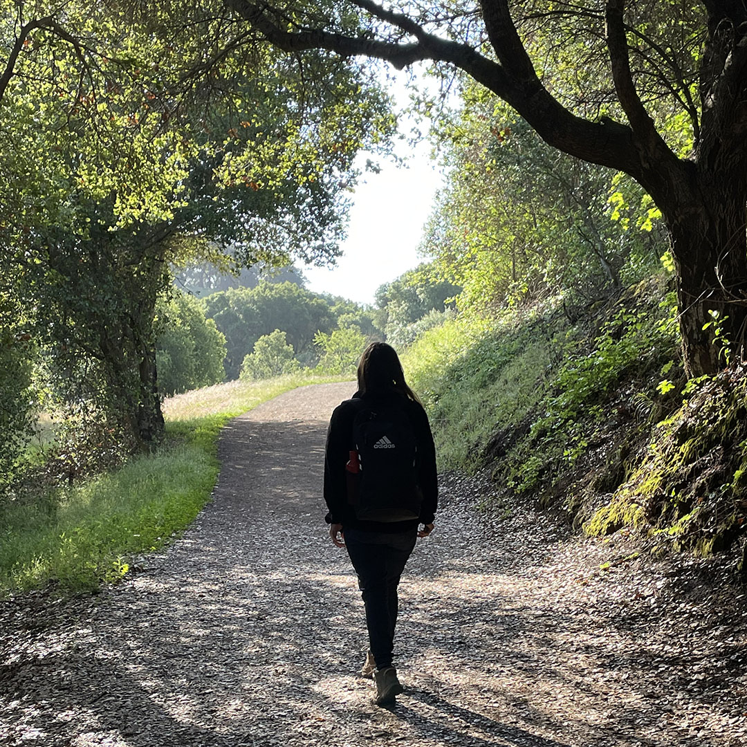
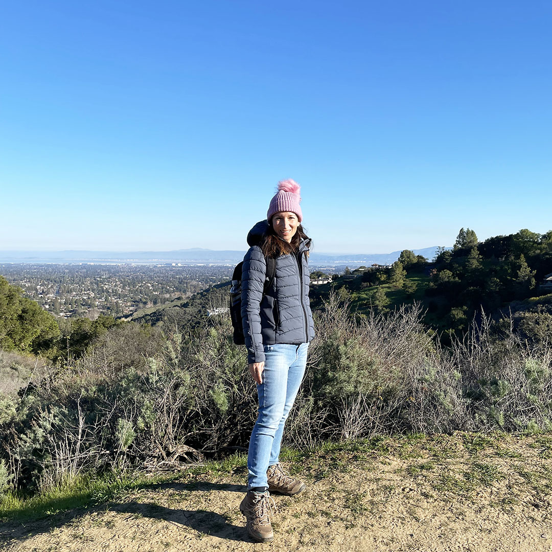
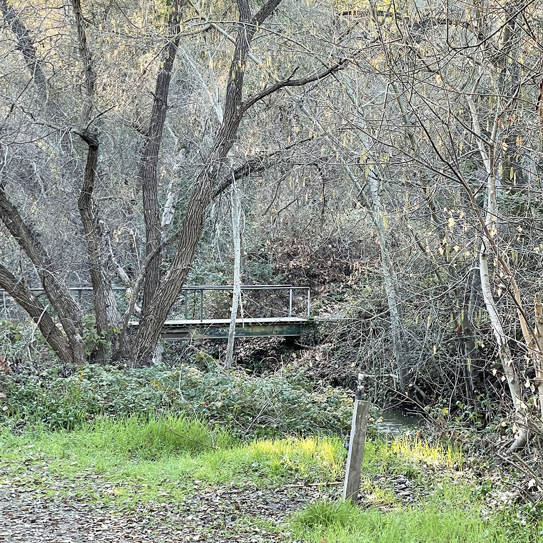
pictured: Castle Rock hiking trails / Zinfandel Trail in Cupertino / (below) Muir Woods /
Happy National Hiking Day! Today is the perfect day to go out and hit your favorite trail! Or, if you are bored of your favorite trail, try a new hiking trail!
Hiking is an amazing activity. Not only do you get exercise, you can enjoy nature, the beautiful surroundings, fresh air, and more! Plus, you can go with your friends and socialize while staying healthy. Love that!
My favorite hiking gear:
So, what are you waiting for? Close your laptop, put down your phone, and go for a hike!
What a beautiful day for a hike! If someone on your list loves to enjoy the great outdoors, and hiking is her jam, here are a few gift ideas for the hiker on your list!
There are a few things you should always have with you while hiking: a first aid kit and a water. A new kit or a new bottle would make a practical, useful gift for the hiker on your list. Want to go a step further? These socks are made for hiking! She will love the support and comfort of special socks made for her hiking adventures.
Backpacks wear out, why not gift her a fabulous new hiking backpack! I have my eye on this one. Hint hint, nudge nudge. Is my husband reading this?
I am a huge fan of these mosquito repellant bracelets. They are easy to wear and use, plus, they work! Love that!
So, without further ado, here are a few fabulous gifts for the hiker on your list!
Thanks for stopping by, stay tuned for more holiday gift ideas!
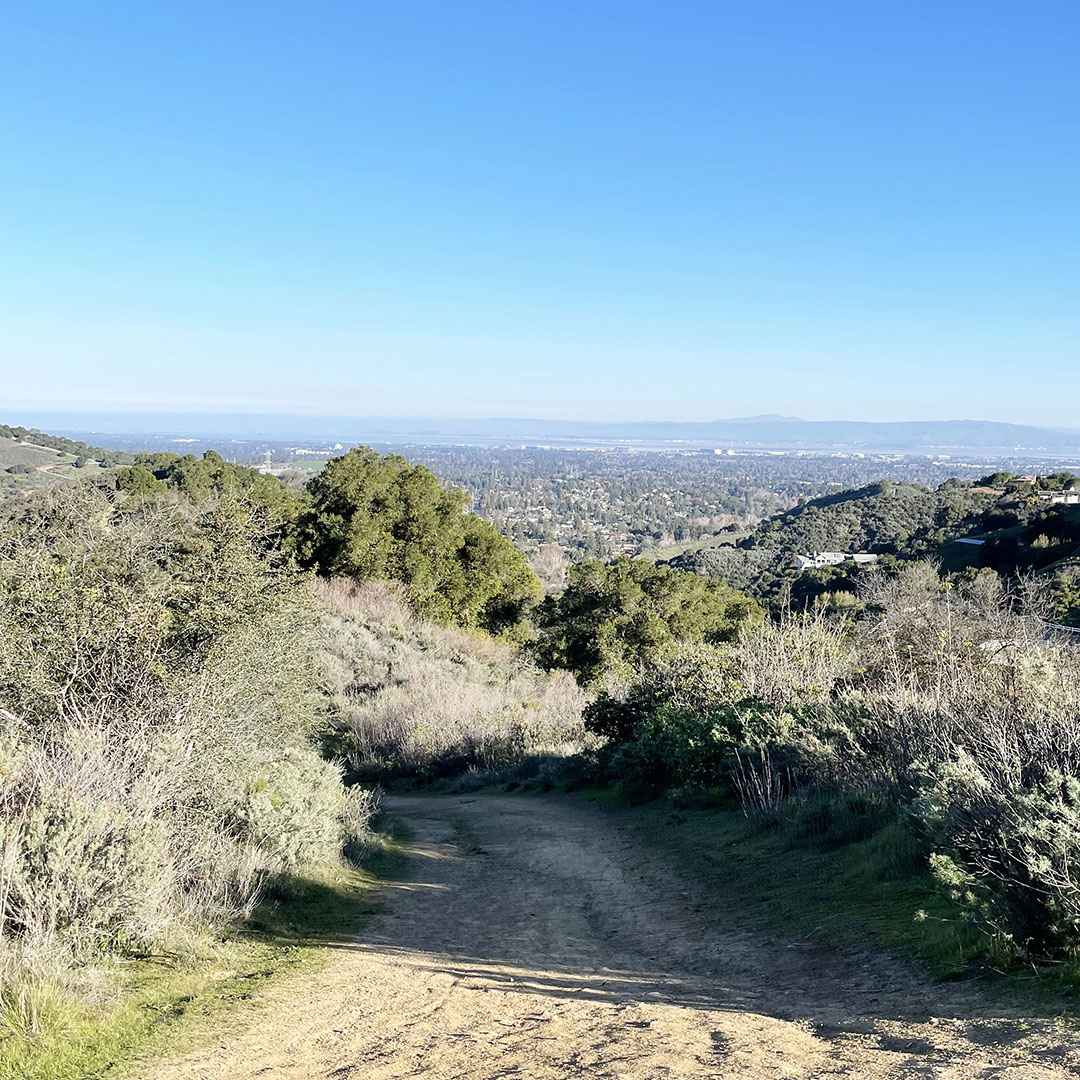
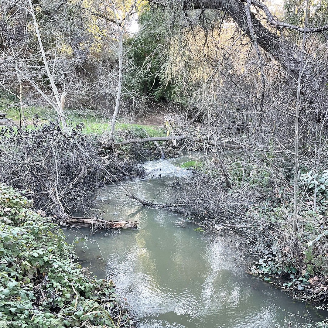
How pretty is this view! We hiked at Stevens Creek County Park for the first time last weekend, and it was a real treat! This large park puts you out in the wilderness just steps from Cupertino. There is a large network of hiking trails, some of which allow dogs, if your dog enjoys hiking too. You can also ride your bike on the some of the trails. Please refer to the trail map when you arrive to see which trails allow dogs and/or bikes.
The hiking trails at Stevens Creek County Park start from the multiple picnic areas where you can enjoy a picnic and then catch a trail. We hiked the Stevens Canyon Trail for the majority of the hike, which was just over three miles, and roughly two hours long. We had my daughter’s girl scout troop (they’re teenagers) with us, and her friend’s parents brought two dogs along for the fun. We had a blast!
The main attraction from the Stevens Creek County Park hiking trails is the view. You can see Silicon Valley from the viewpoints along the trails, and of course when you get to the top. These trails are medium difficulty and offer a lot of elevation changes, which is super fun!
Stevens Creek County Park is easy to get to from Cupertino. If you are traveling down N. Foothill Blvd, it turns into Stevens Canyon Road. As soon as you stop seeing homes (civilization), there will be a parking lot on your left. That’s a great place to park and enjoy the park! The ranger’s station is a few yards from the parking lot, hidden down the road. This is where you can find tri-fold maps to take with you on the hike. There is also an ancient communications device at the ranger’s station, aka a pay phone-and it works, we tested it! haha
This website uses cookies to improve your experience while you navigate through the website. Out of these, the cookies that are categorized as necessary are stored on your browser as they are essential for the working of basic functionalities of the website. We also use third-party cookies that help us analyze and understand how you use this website. These cookies will be stored in your browser only with your consent. You also have the option to opt-out of these cookies. But opting out of some of these cookies may affect your browsing experience.
Necessary cookies are absolutely essential for the website to function properly. This category only includes cookies that ensures basic functionalities and security features of the website. These cookies do not store any personal information.
Any cookies that may not be particularly necessary for the website to function and is used specifically to collect user personal data via analytics, ads, other embedded contents are termed as non-necessary cookies. It is mandatory to procure user consent prior to running these cookies on your website.