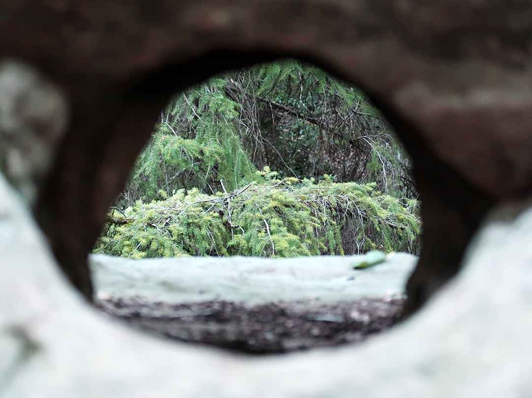
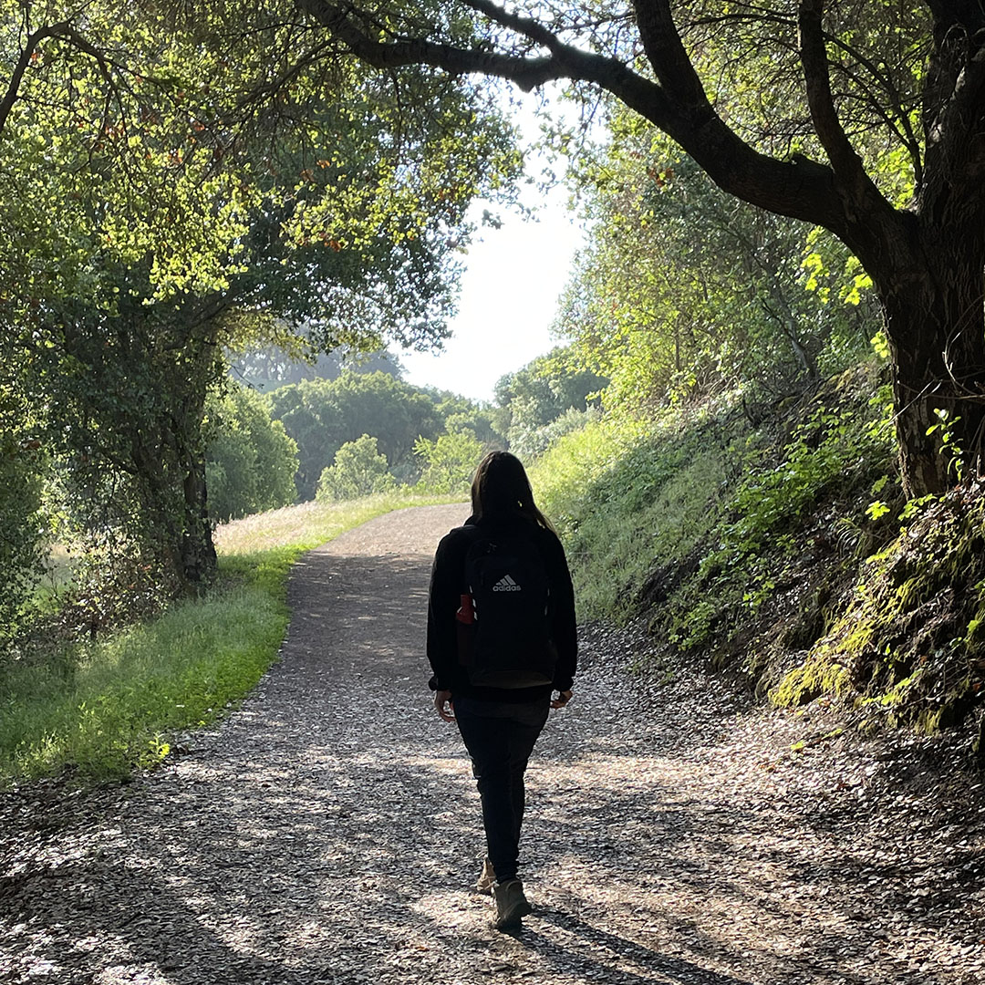
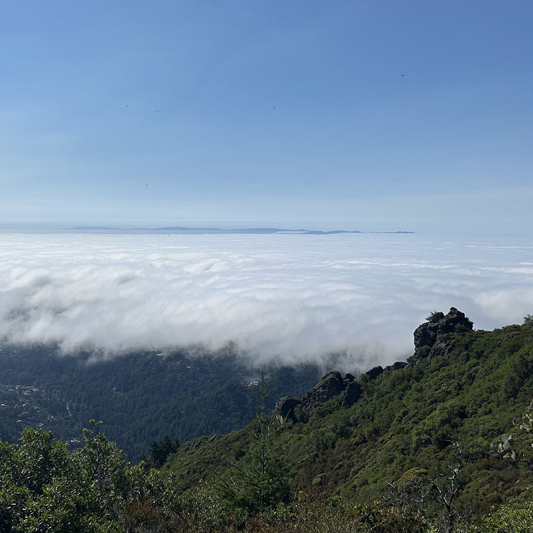
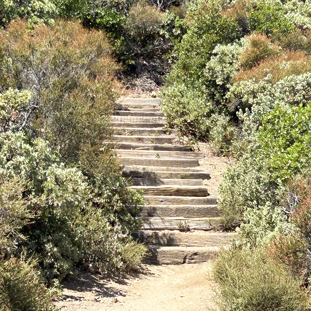
pictured: Castle Rock hiking trails / Zinfandel Trail in Cupertino / (below) Muir Woods /
Happy National Hiking Day! Today is the perfect day to go out and hit your favorite trail! Or, if you are bored of your favorite trail, try a new hiking trail!
Hiking is an amazing activity. Not only do you get exercise, you can enjoy nature, the beautiful surroundings, fresh air, and more! Plus, you can go with your friends and socialize while staying healthy. Love that!
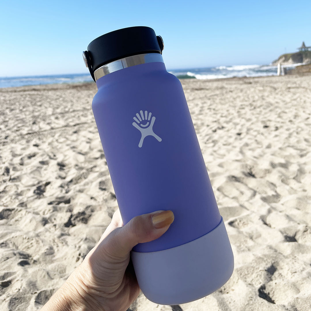
My favorite hiking gear:
So, what are you waiting for? Close your laptop, put down your phone, and go for a hike!
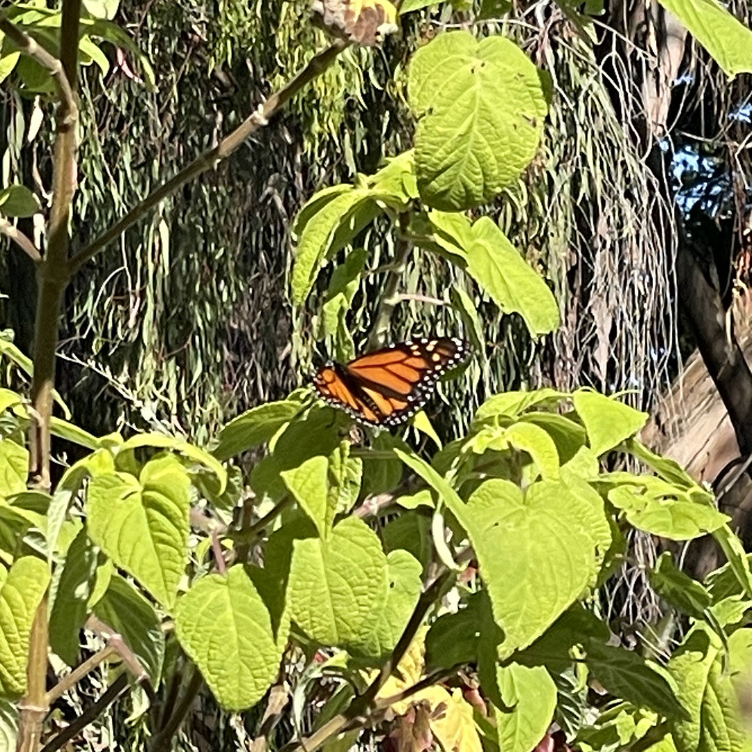
It’s Monarch Butterfly season! Every year, from mid-October to January, the Monarch Butterflies visit Natural Bridges State Park in Santa Cruz and dazzle us with their beauty.
The butterflies gather on trees and enjoy the natural foliage around the area. Although there were large groups hanging out together on trees, my iPhone camera was too far away to get a good photo. That being said, I was able to get the up-close picture you see above!
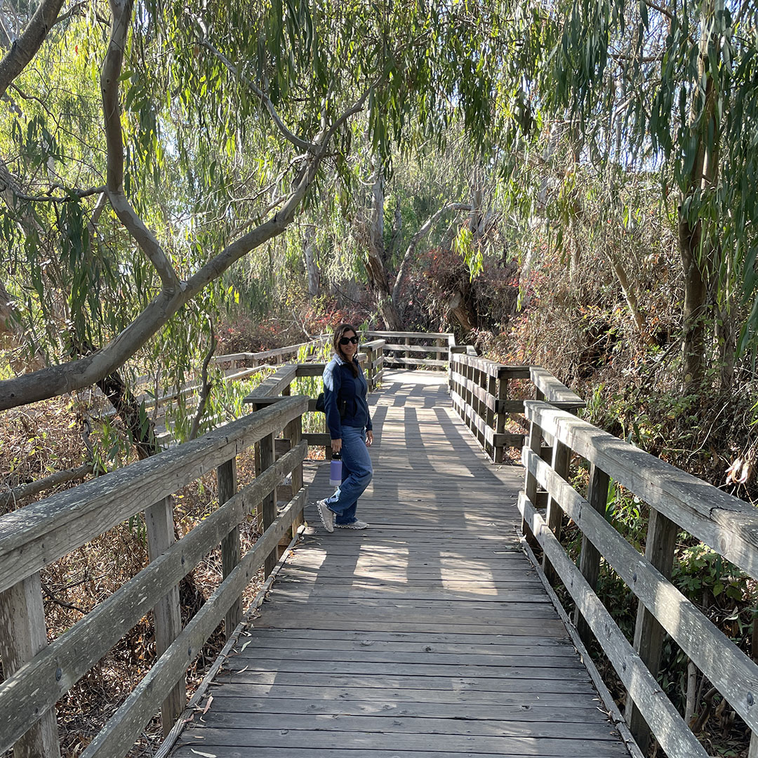
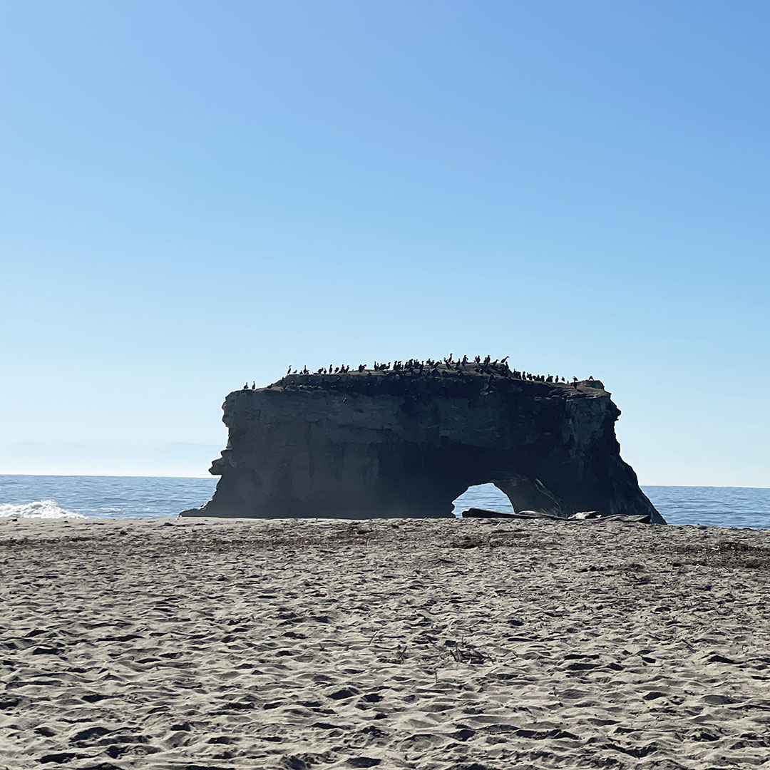
Natural Bridges State Park offers an easy hiking trail, made up mostly of a wooden bridge, through the area where the butterflies enjoy gathering. This allows for the perfect view of the butterflies.
The parking lot is conveniently positioned between the butterfly trail and the beach. So, you can do both on the same day without moving your car. Love that!
After we viewed the butterflies, we relaxed on the beach and watched the waves and surfers. The view of the ocean at Natural Bridges State Park is fabulous. If you are local, it is a must-see!
After our visit to the beach, we went to downtown Santa Cruz and enjoyed a delicious meal at El Palomar. The food was top notch, and the service was friendly, fast, and beyond expectations. It’s my new favorite restaurant in Santa Cruz! Love!
So, if you are local or visiting the area, I recommend this fall/winter activity. You will love seeing the butterflies and relaxing on the beach!
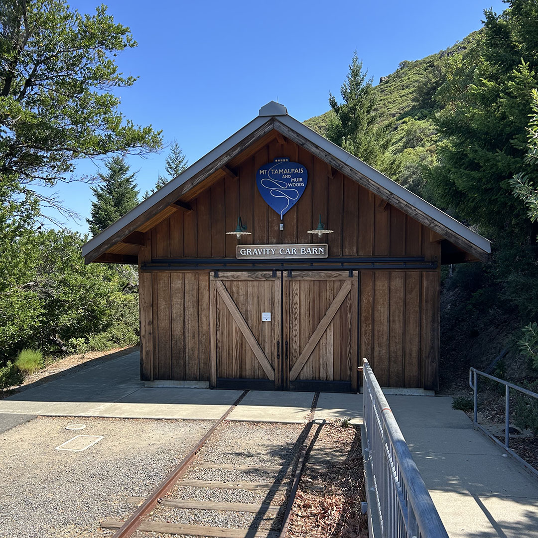
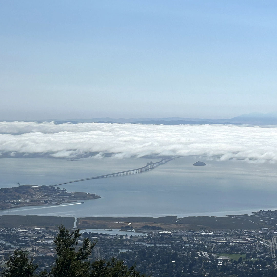
Have you ever been to the top of Mt Tam? If you are local to the San Francisco Bay Area, and you can handle few twisty roads, what are you waiting for? When you reach the top of Mt Tam, you can see spectacular views of Marin and the bay. If you’re lucky, you will see the fog rolling in like a luxurious blanket enveloping you in comfort and relief from the summer heat.
This is your cue to make sure you have a full tank of gas, and to head up the mountain for some hiking, serenity, local history, and breathtaking beauty. To achieve this, I recommend going in the morning on a weekday; avoid weekends at all costs.
Thanks for stopping by! I hope you enjoy this Bay Area staycation idea!
XOXO
Cathy
Cookie Notice
We use cookies on our website to help it load faster. By clicking “Accept”, you consent to the use of ALL the cookies.
This website uses cookies to improve your experience while you navigate through the website. Out of these, the cookies that are categorized as necessary are stored on your browser as they are essential for the working of basic functionalities of the website. We also use third-party cookies that help us analyze and understand how you use this website. These cookies will be stored in your browser only with your consent. You also have the option to opt-out of these cookies. But opting out of some of these cookies may affect your browsing experience.
Necessary cookies are absolutely essential for the website to function properly. This category only includes cookies that ensures basic functionalities and security features of the website. These cookies do not store any personal information.
Any cookies that may not be particularly necessary for the website to function and is used specifically to collect user personal data via analytics, ads, other embedded contents are termed as non-necessary cookies. It is mandatory to procure user consent prior to running these cookies on your website.